


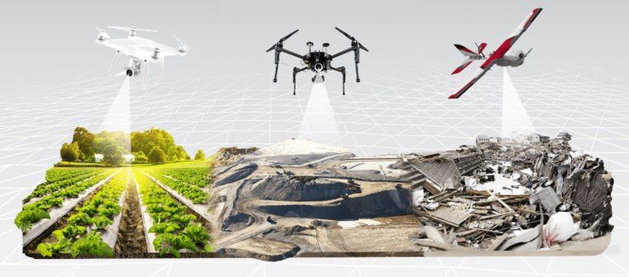
Drones seem to have the potential to revolutionize numerous areas of our lives, but today their biggest disruption is in the field of mapping. These small flying machines have made mapping any area or an object a matter of few minutes or hours, instead of the typical days or weeks it used to take before. In addition, this mapping equipment is accessible to even ‘non-experts’ because using a simple hobby drone like the DJI Phantom or DJI Mavic Pro will let you achieve survey-grade accuracy in a photogrammetric map or 3D model.
But what exactly is this ‘accuracy’? How do you define it, measure it, and verify it? And finally, what is the accuracy you actually need and how do you achieve it using UAVs? All these questions are really important if an aerial mapping business is your aim. In this industry, accuracy is the name of the game. And if you cannot define it and deliver it, you would end up offering your clients nothing more than a pretty picture from above.
Survey accuracy vs. pixel size
One of the most important parameters of your survey is the spatial resolution, which in photogrammetry terms is described as GSD (Ground Sampling Distance). In literature, it is defined as the distance between two consecutive pixel centers measured on the ground. In practice, it is simply the size of the pixel in the field.
The GSD depends on the parameters of the camera (mainly camera resolution and focal length) and the flight altitude. For example, to achieve 1 cm (3 inches) pixel size using a hobby drone like the DJI Mavic Pro, you will need to fly at an altitude of 25 m. Using a professional device like PrecisionHawk’s Lancaster 5 will let you achieve 1 cm GSD at 60m.
However, if you manage to complete your flight with a pixel size of 1 cm2 (0.16 in2), it doesn’t mean that the accuracy of your overall survey (or to be more exact, the output of your survey: Orthophotomap, Digital Surface Model, or 3D point cloud) is also 1 cm.
In photogrammetry, accuracy is always relative to positional accuracy, which is defined as the degree to which the information on the map created from the data captured matches the actual real world.
Relative and absolute accuracy
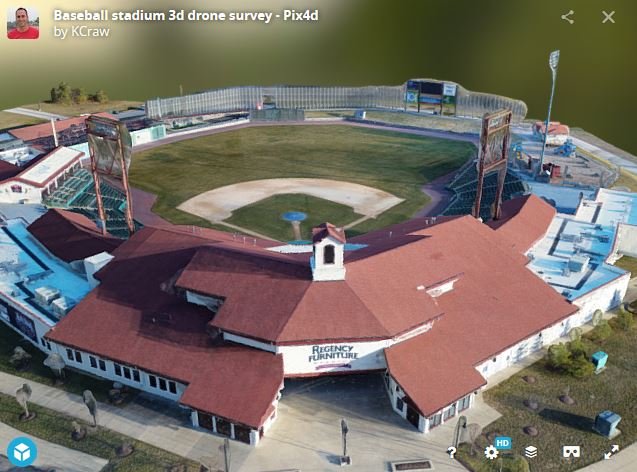
This is where things start to become interesting, as well as more complicated. It is one thing to generate an accurate photogrammetric model using a software like PrecisionMapper, or Pix4D. But fitting it accurately to a geodetic coordinate system is a different ball game altogether.
Drones are equipped with GPS units that allow you to properly stitch the images together and generate 3D models. However, this equipment is typically not accurate enough to place the said model exactly where it needs to be with centimeter-level accuracy.
To understand this better, you may measure the distance between two points on your reconstructed model and find the value is quite close to the value measured on the field. But a close inspection would reveal the points themselves might be 1 meter away from their real position on the Earth!
This is why in aerial surveying, accuracy in interpreted in two ways: relative and absolute. Relative accuracy is the measurement of how objects are positioned relative to each other in a reconstructed model (Orthophotomap, Digital Surface Model or 3D point cloud). Absolute accuracy refers to the difference between the location of the objects on the reconstructed model and their true position on the Earth (or a geodetic coordinate system).
For most small areas and simple use cases, the relative model would work just fine. It will let you measure distances, volumes and height differences and do operations like applying vegetation indexes to your data. However, if you need to create a professional photogrammetric survey documentation, or combine your data with other data layers (e.g. GIS vector data) or do any operations with geographic coordinates in a geodetic reference system, you will need to perform the so-called absolute orientation of your reconstructed model using Ground Control Points or GCPs.
Credits: medium


")


